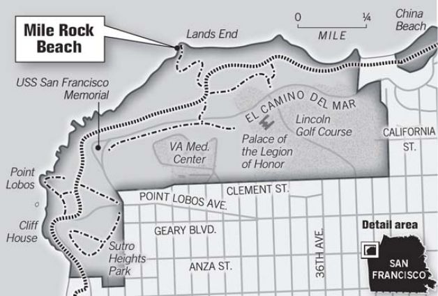
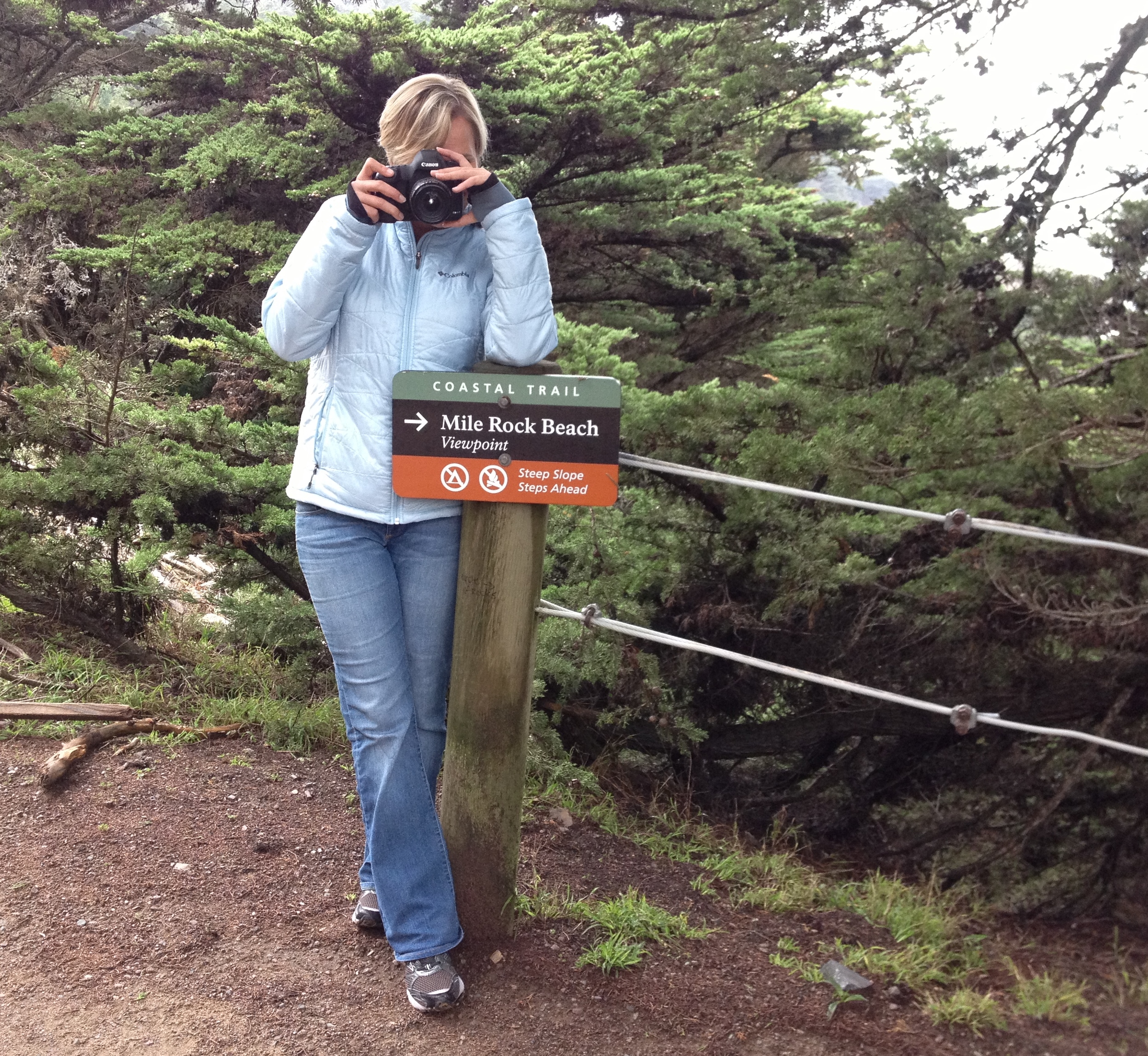
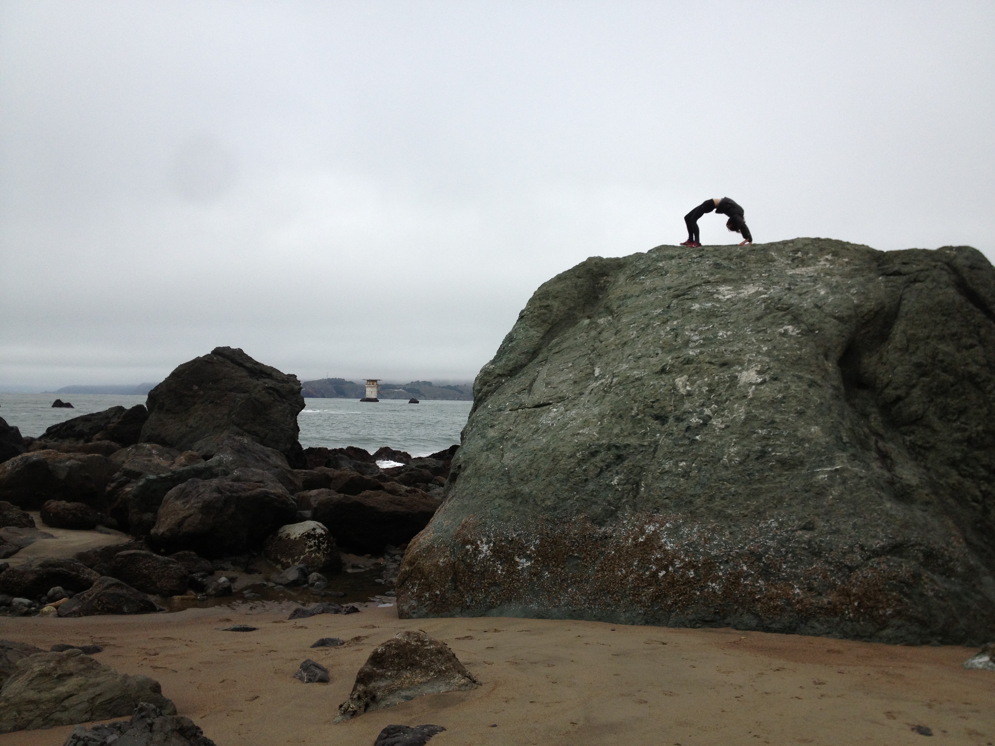
Mile Rock Beach – tangent off of Land’s End trail..must do for local San Franciscans!

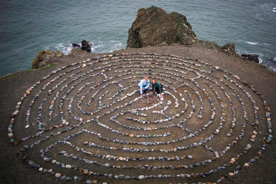
wonderful B Rem joined in the mix.. snap shoppe! (her company soon to come to fruition)…


*** interesting:
Following the 1906 earthquake, San Francisco worked to rebuild itself. After being left high, and literally dry with a shortage of water during the quake, there was renewed interest and investment in the city municipal works, in particular a modern water system.
Even earlier, by the late 1890′s, San Francisco was growing quickly and the demand for a long-range design and plan for a city-wide sewer system was sought. The heavily populated areas of the city, like downtown, were already heavily sewered. Extensions were needed to handle the burgeoning population, which also meant more outfalls for the sewage were needed. At the time, the ocean was identified as one of the least harmful and offensive solutions.
Municipal engineers also proposed at the time that a combined system of storm water and sewage drains would decrease the total number of conduits needed and also serve to “flush out” the sewer lines with comparatively clean storm water run-off.
A 1908 sewer bond eventually provided the funding for Mile Rock Tunnel, an outfall tunnel constructed in 1914 and 1915. The tunnel was designed as a storm drainage facility for the Sunset and West Mission districts and portions of the Richmond and Ingleside districts.
The tunnel, which still exists today, is 4,233 feet long and as deep as 300 feet underground in some places. It begins at 48th Avenue and Cabrillo and ends at the San Francisco Bay in the vicinity of Mile Rock Beach.
When originally constructed, the tunnel was 9 feet high and 11 feet wide – large enough to drive a car through (more on that later). The walls of the tunnel range from 9.5 inches thick at the top, to 14 inches on the sides and bottom. [read full article here: thank you, Sarah! http://richmondsfblog.com/2012/07/26/what-lies-beneath-the-richmond-districts-mile-rock-tunnel/]
to visit MRB: